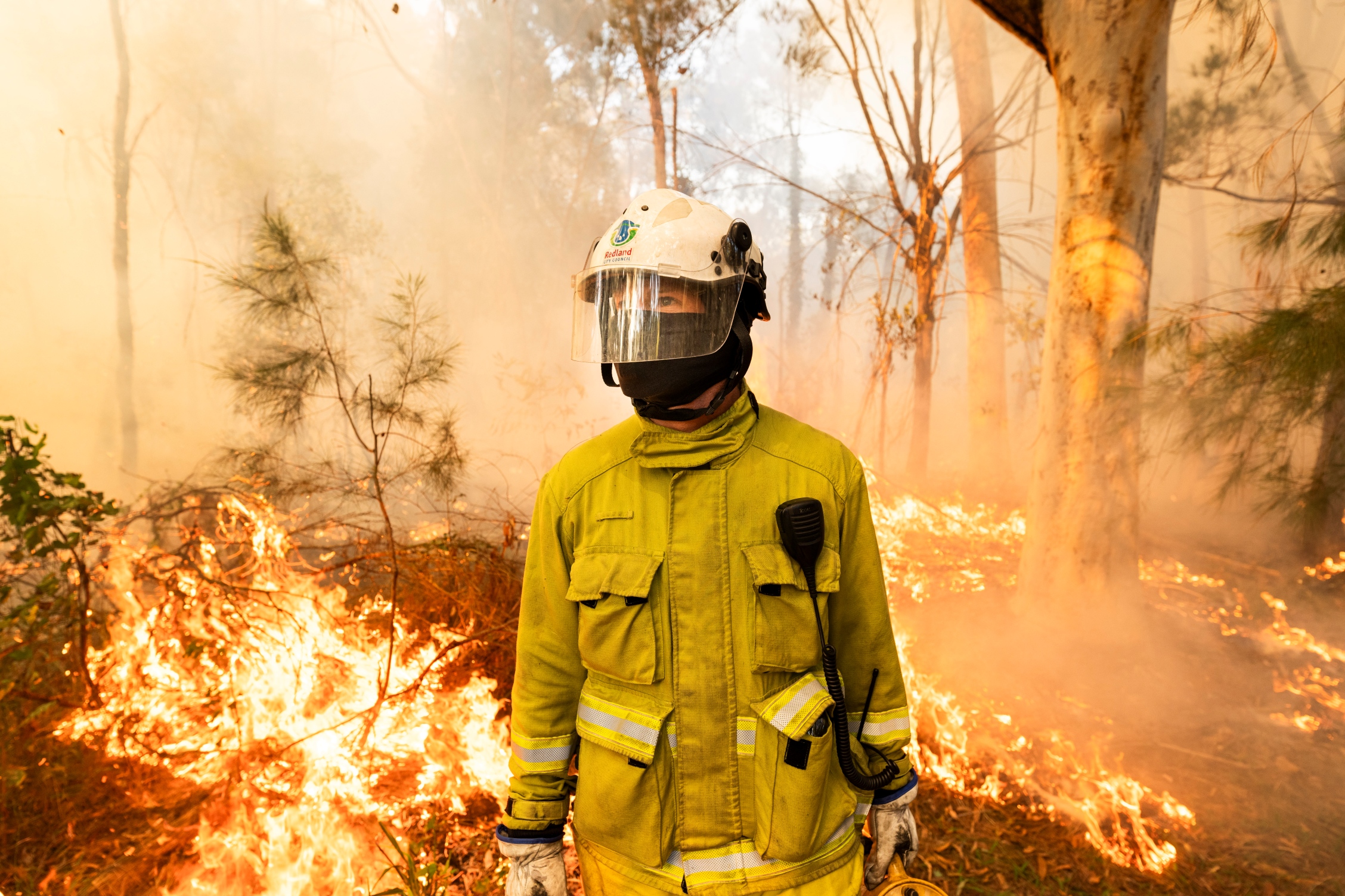
Redland City Council plays a significant role in preparing for the annual bushfire season.
Council’s Fire Management team reduces bushfire risks across the city by slashing Council-owned land adjoining houses, and creating firebreaks, as well as carrying out controlled burns to reduce fuel loads.
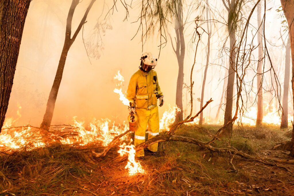
The planned burns make a significant difference to the volume of forest litter, such as dead branches and leaves and grasses, which act as a fuel source during bushfires.
Not only do the burns reduce fire danger, but they make it easier to access areas to fight bushfires. They also provide conditions essential for natural regeneration of local flora.
Before a burn takes place, an ecological assessment of each site is carried out to determine the environmental values that require protecting, such as hollows, nests, dens, significant species, and cultural heritage. As the burns are spot ignited and burn slowly at low intensity, these environmental values can be protected from fire by raking and/or dampening the areas around them.
The slow burning of undergrowth in controlled conditions allows time for native wildlife to escape. To further protect wildlife, the burns are conducted in a mosaic or patchy manner while ensuring wildlife have safe corridors to move into temporarily if required.
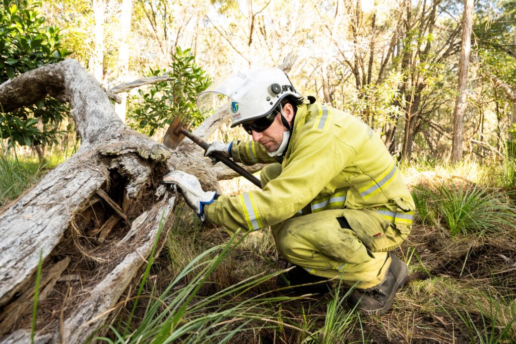
Fire Management officers walk through the planned burn area in the days leading up to, and on the day of the burn, to inspect sites for wildlife and to pre-clear around important habitat features and possible wildlife hiding places such as hollow trees.
Slow burning of undergrowth in controlled conditions allows time for native wildlife to escape
Planned burns, also known as hazard reduction or prescribed burns, are undertaken during low-risk periods generally through the cooler months of the year. On Redlands Coast this is usually between March and September, but the weather can and does make some burns impossible or difficult.
Council works with Queensland Fire Department (QFD), and adjoining land management authorities to undertake an annual planned burn program.
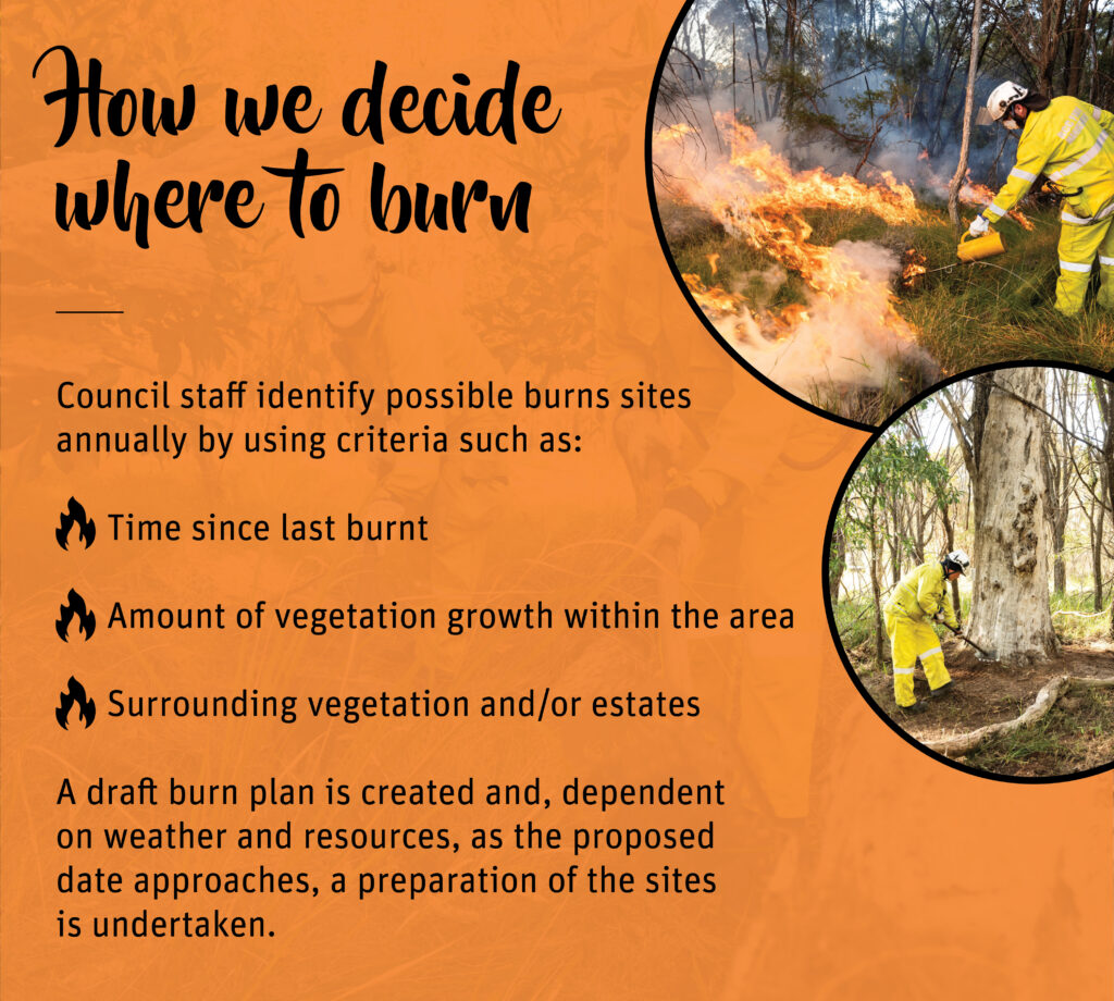
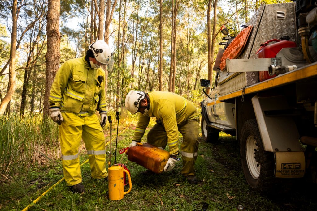
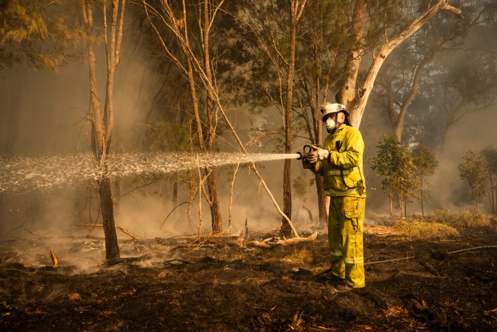
Council staff involved in fire management activities are trained in bushland management, planned burning techniques, wildfire suppression and take care to minimise the impact on local wildlife. All attempts also are made to limit any smoke hazards.
The burns are conducted under a Permit to Light, issued by QFD, and only in suitable weather conditions. They are highly dependent on weather and site conditions, including temperature, soil moisture, humidity, wind-speed and wind direction.
When a fire can’t go ahead, it will be reassessed against emerging priorities and may be rescheduled.
Planned burn may cause some inconvenience, however all attempts are made to limit any smoke hazards.
Council also reminds residents that you don’t have to live in bushland to be threatened by bushfires.
The Queensland Fire Department website advises that the bushfire itself was only one part of the danger.
Fire embers (small pieces of burning bark, leaves and twigs) can be caught in the wind and travel many kilometres from where the bushfire is burning and cause spot fires.
The radiant heat from a large bushfire can be felt more than 100m away and can melt or crack objects such as glass windows, allowing embers into buildings and vehicles.
Radiant heat also can be deadly to people and animals, causing dehydration and even heatstroke.
Toxic fumes and heavy smoke from bushfires can make seeing and breathing difficult.
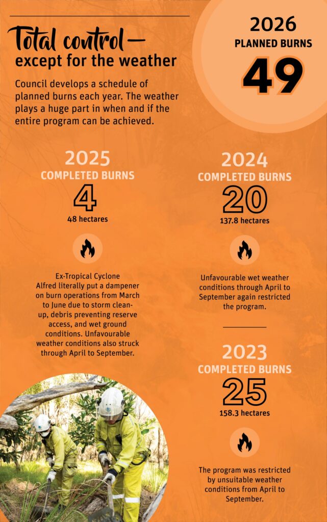
Throughout 2026, Council plans to undertake 49 separate burns throughout the Redlands Coast and the islands.
These burns will be undertaken in cooperation with the Queensland Fire Department – Urban & Rural (QFD), other adjoining Land Management Authorities such as Queensland Parks & Wildlife Services (QPWS), Quandamooka Yoolooburrabee Aboriginal Corporation (QYAC), the Department of Environment, Science and Innovation – State Land Management Team (DES), and South-east Queensland Water (Seqwater).
Residents living in properties that adjoin the planned burn area are notified by letterbox drop. Notifications are also posted on Council’s Redlands Coast Today – Planned Burns page on the day of a burn.
For more information
Practical information on preparing for, responding to and recovering from disasters, is available online on Council’s disasters and emergencies page. More information is available at Get Ready Queensland, or for bushfire preparedness advice, visit the Queensland Fire Department website at fire.qld.gov.au.
Residents can also subscribe to Council’s free emergency notification messaging service, Redlands Coast Alerts, via the Redlands Coast Disaster Dashboard at disaster.redland.qld.gov.au.
During a disaster, the dashboard is continually updated with vital information on road closures, emergency contacts, Energex power outages, active evacuation centres and weather warnings.
For the full planned burn program for 2026, go to Council’s Park and Conservation Planned Burn Program page.